Price History
App Description
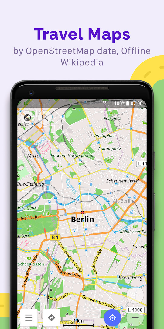
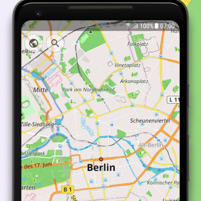
OsmAnd+ (OSM Automated Navigation Directions) is a map and navigation application with access to free, worldwide, and high-quality OpenStreetMap (OSM) data.
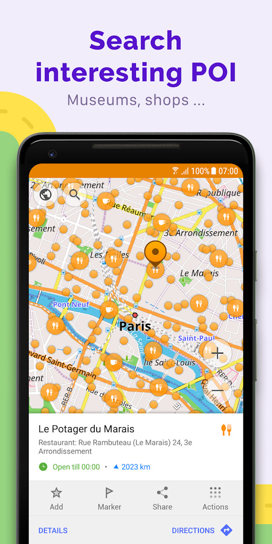
Enjoy voice and optical navigation, viewing POIs (points of interest), creating and managing GPX tracks, using contour lines visualization and altitude info, a choice between driving, cycling, pedestrian modes, OSM editing, and much more.
OsmAnd+ is the paid application version. By buying it, you support the project, fund the development of new features, and receive the latest updates.
Some of the main features:
Navigation
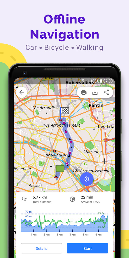
• Works online (fast) or offline (no roaming charges when you are abroad)
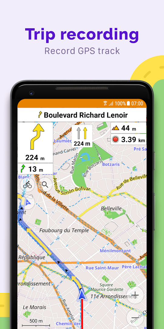
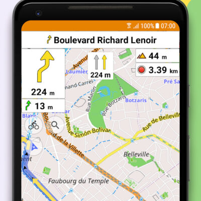
• Turn-by-turn voice guidance (recorded and synthesized voices)
• Optional lane guidance, street name display, and the estimated time of arrival
• Supports intermediate points on your itinerary
• Automatic re-routing whenever you deviate from the route
• Search for places by address, by type (e.g.: restaurant, hotel, gas station, museum), or by geographical coordinates
• OSM Public Transport
Also On Sale
-
Ultra GPS Logger
$8.99 -
Binders | License
$11.99 -
OK Golf
$2.99 -
Psychofunk
$2.99
